in over 190 countries that effectively collaborate on geospatial data with Mergin Maps software.


Map your assets in the field with points, lines, or polygons. Create and edit geometries with an easy-to-use interface. Use measurement tools to measure distances or areas.
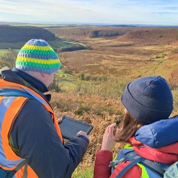
Ensure the highest possible data accuracy in your field survey with your GNSS device. Connect a wide range of supported GPS/GNSS devices to your iOS or Android device.


You can use the full functionality of the mobile mapping app while offline. Synchronize with your team once you are back online.
Choose from a wide range of widgets, attach pictures, and extract geotagged information. Use tabs, skip logic, or auto-calculate values.