Store your project data on our cloud or host it on your own server.
Project data are stored in our cloud, or alternatively, you can store it on your own server.
Map your assets in the field with points, lines, or polygons.
Analyse your GIS survey data instantly in QGIS with full symbology, layers, and map styling.
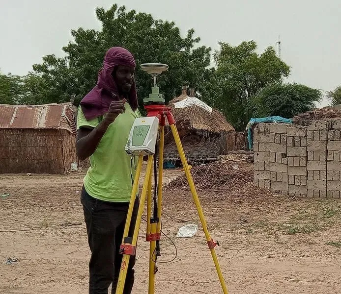
Enhance your GIS survey accuracy with external GNSS support for high-precision data collection.

Design forms of your choice with dropdowns, checkboxes, date pickers, and conditional logic to guide users and reduce input errors.
Collaborate with your team members across locations and sync changes as they happen. Assign roles and manage permissions to control who can edit, view and contribute data. Track who collected or modified specific data.


The mobile app is built to be intuitive for field surveyors and non-technical workers. Capture photos within the forms during GIS surveys. Sync data with QGIS in just one tap.
Correct errors or recover your data if something goes wrong. View detailed changelogs or merge changes from multiple editors automatically.