
Publish your QGIS project online and share it with your stakeholders with a simple URL.
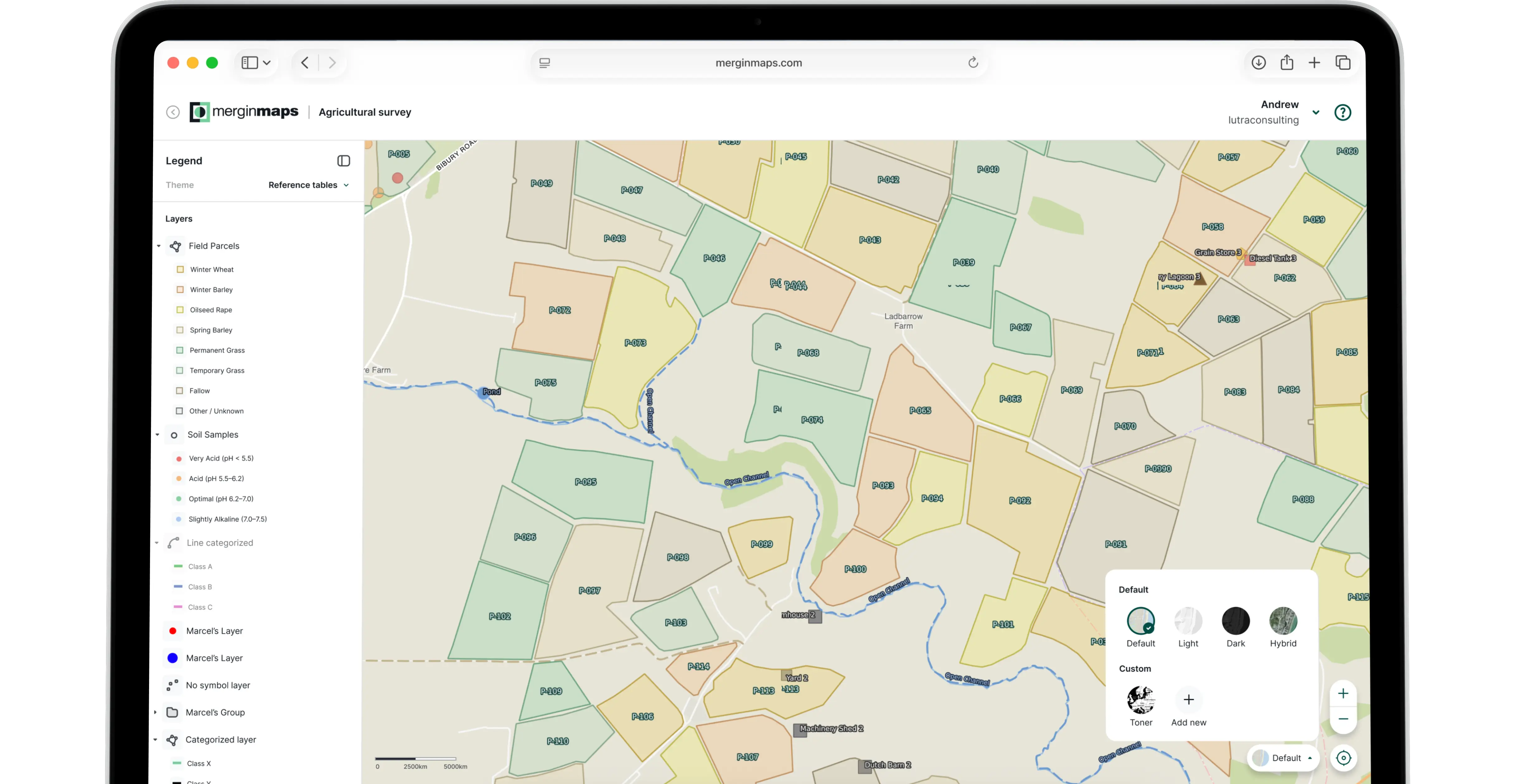
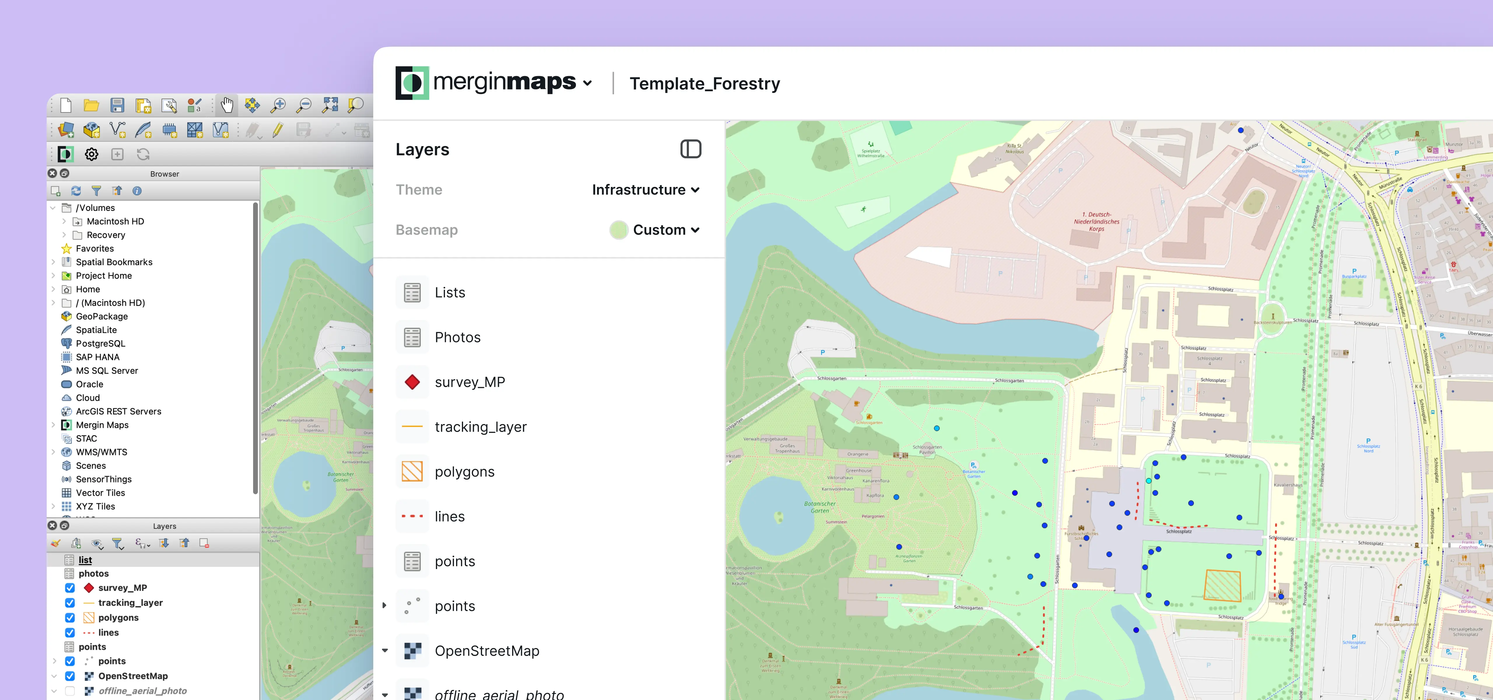
Access and update the exact same map across multiple devices, including QGIS, web browsers, and mobile phones. Never worry about distributing outdated data again.
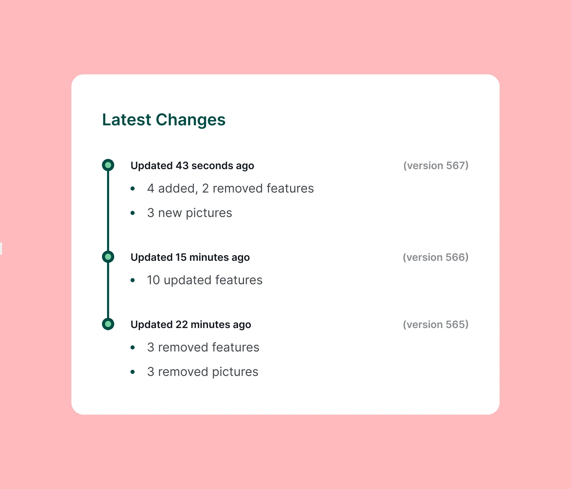
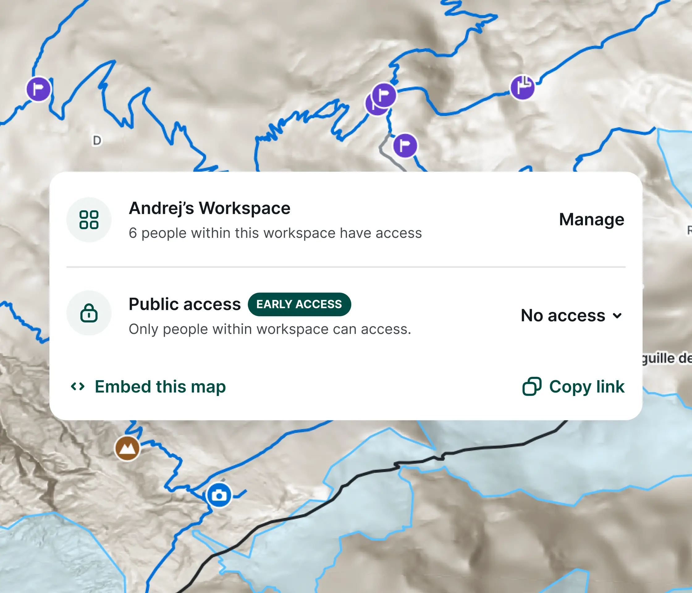
Generate a clean web link to share your interactive maps with external clients or internal teams. No GIS software, installations, or technical training required on their end.
Put your maps where your audience is. Easily embed your live QGIS maps directly into your company website, client portals, or public dashboards using a simple, copy-and-paste integration snippet.


Choose your own map themes see layers, QGIS symbology, labelling, photos to fully customize your experience.


Yes, completely. Because our cloud infrastructure runs a native QGIS server backend, your custom symbology, labeling, layer themes, and complex vector styles are preserved exactly as you designed them on your desktop. Once online, users can easily view and switch between your pre-defined map themes, as well as control individual layer visibility. The interface also supports full feature identification, meaning stakeholders can click on any object to view its pre-defined attributes, including attached photos.
Absolutely. Every project published to our server generates a code snippet you can use to embed the map. You can easily paste this snippet into your corporate website, client portals, or public dashboards to display an interactive, live-syncing map under your own brand.
Yes. You have full control over your project security. You can choose to keep your QGIS cloud maps entirely private to your internal team, share them securely with specific client emails, or make them completely public to the world via an open URL.
The server is optimized for high-performance, offline-ready formats. You can publish both vector and raster layers using GeoPackages, Shapefiles, Geodiff, and MBTiles. To ensure maximum stability and speed, layers that strictly require an active internet connection within your desktop QGIS project are automatically disabled. For background mapping, every project automatically gets built-in basemaps from us, and you also have the option to load any custom basemaps in XYZ format.
Absolutely. On top of generating a standard code snippet that allows you to easily embed the map into your corporate website or client portal, the platform is highly extendable. Developers can fully customize the web GIS interface using JavaScript, giving you the power to build unique, custom web applications tailored exactly to your customers' needs.
